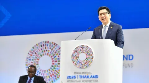
OECD supports Thailand’s accession to the organisation in 2028
Thailand secures US$200m World Bank loan for clean energy and low carbon cities
Satellite images show widespread flooding in Thailand’s northeast
AI In-Brief
Thailand News in Brief
Thai PBS World
Thailand and the world, every day
AI can make mistakes. Please double-check.
Satellite images show widespread flooding in Thailand’s northeast
27 Sept 02:11Key points summarised by AI
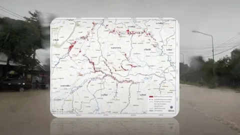
Satellite images from GISTDA confirm 20,800 hectares of land, including over 11,200 hectares of rice fields, are flooded in Thailand’s northeast.
The flooding, concentrated along the Chi and Mun River basins, affects multiple provinces, with GISTDA sharing data to enhance monitoring and analysis.
Thailand secures US$200m World Bank loan for clean energy and low carbon cities
Today 09:24Key points summarised by AI
Thailand secured a US$200 million loan from the World Bank to significantly invest in clean energy and low-carbon urban development initiatives.
The program aims to drive clean energy funding and low-carbon growth, ensuring a just transition for small and medium-sized enterprises, workers, farmers, and local communities.
Channelled through the Export-Import Bank of Thailand, the loan will fund energy efficiency upgrades in public buildings and industrial areas, including rooftop solar installations and electrical system modernizations, reducing initial capital burdens via Energy Service Companies (ESCOs).