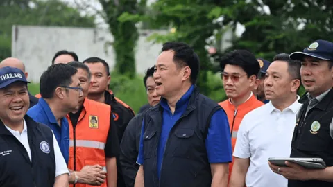
Government to start building Chainat-Pasak-Gulf water diversion canal next year
Nationwide crackdown launched on illegal nominee shareholders and land holdings
Singapore uses geospatial data to make roads greener, safer, and easier to navigate
AI In-Brief
Thailand News in Brief
Thai PBS World
Thailand and the world, every day
AI can make mistakes. Please double-check.
Singapore uses geospatial data to make roads greener, safer, and easier to navigate
13 Sept 21:48Key points summarised by AI
Singapore Land Authority (SLA) utilizes geospatial data and an AI-powered app to enhance road safety, environmental sustainability, and navigation, particularly through the SLA App which offers specialized information for wheelchair users.
The SLA's OneMap integrates data from over a hundred sources, enabling cross-sector collaborations, such as a new agreement with the container logistics sector to optimize routes, reduce congestion, and lower carbon emissions by providing real-time traffic and vehicle-specific road information.
This initiative demonstrates the value of connecting data with people to solve complex urban issues, with Singapore also extending its geospatial expertise through international collaborations, including a three-year project with Saudi Arabia for knowledge exchange and service development.
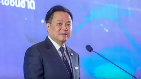
Nationwide crackdown launched on illegal nominee shareholders and land holdings
Yesterday 15:20Key points summarised by AI
Thailand's Prime Minister Anutin Charnvirakul initiated a nationwide crackdown on illegal Thai nominee shareholders in foreign-run businesses and land holdings to safeguard national interests.
The government will integrate efforts across all relevant agencies to target illicit foreign operations, forced sales of illegally acquired property, and high-risk land ownership schemes.
Key strategies include auditing suspect land and building holdings, establishing a long-term monitoring system, and cross-referencing data from various authorities to trace ultimate beneficial owners.
Prime Minister Anutin emphasized that no influential figures or corrupt officials are above the law, promising straightforward prosecution, asset seizures, and protection for enforcing officers.
Beyond land ownership, the integrated crackdown will also extend to tackle transnational crimes, including drug and human trafficking.