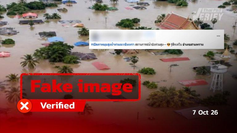
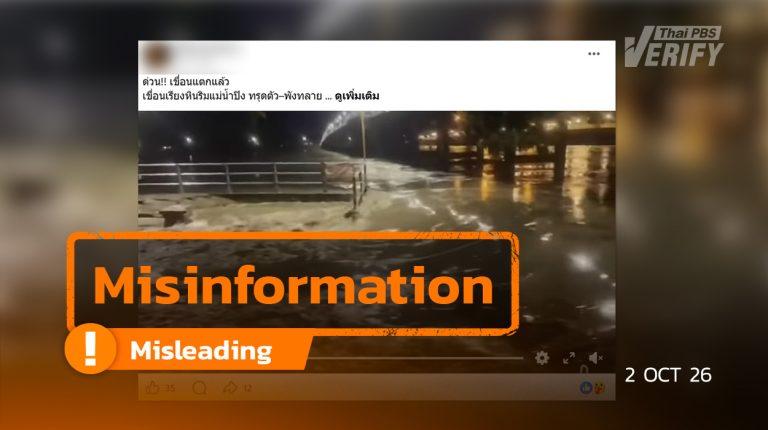
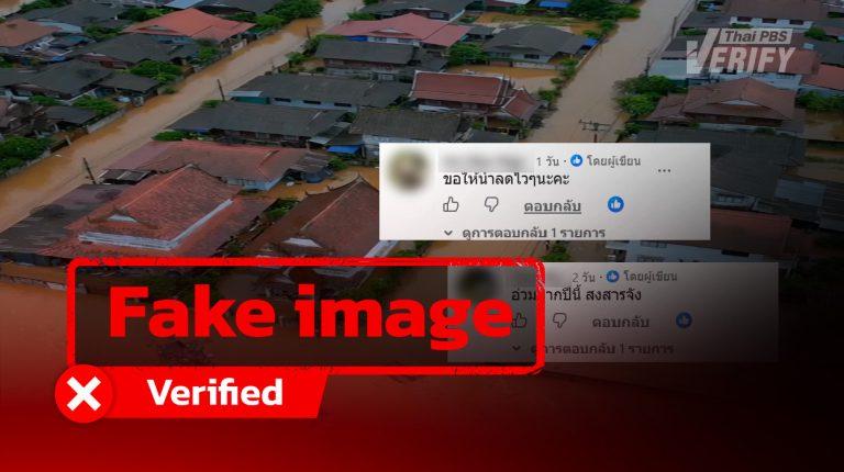
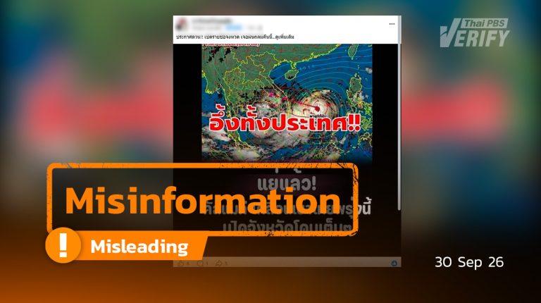
The clip showing a 2-meter flood in Bang Khla is actually AI-created.
Thai PBS Verify traced the origin of the fabricated image to Facebook.
Thai PBS Verify identified a Facebook user sharing images of the flood conditions, accompanied by the statement: ‘Bang Khla has reached a depth of 2 meters, now in its second week. Water levels in Ban Sang refuse to drop due to combined farm runoff and tidal surges. The Bang Pakong River remains critical!’ #BangPakong #Flood #Chachoengsao #Prachinburi #Flood2026 #BangKhlaCrisis #BanSang
The clip recorded 1,800 reactions, along with 86 comments and more than 118 shares.
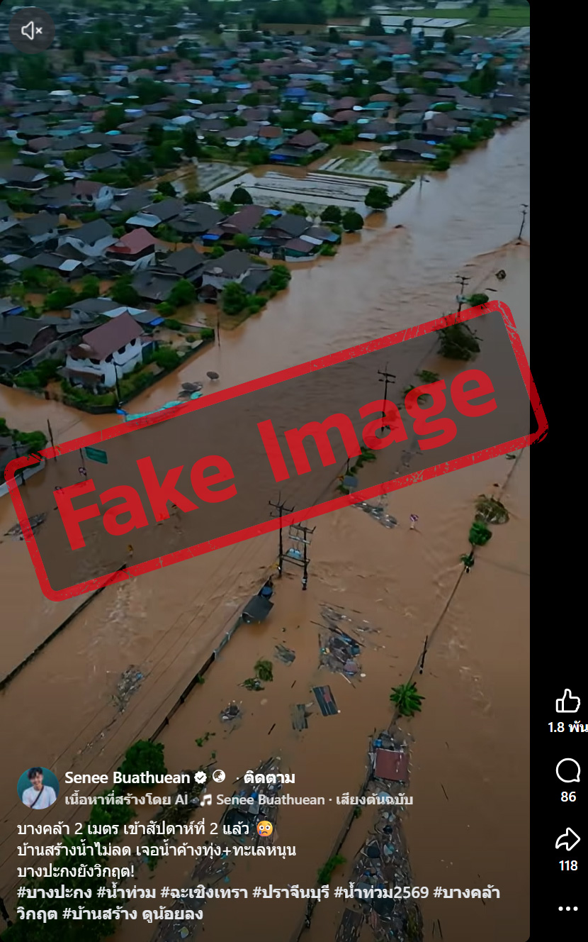
A Facebook account posted photos of the flood scene with the caption: ‘Bang Khla is 2 meters underwater, going into its second week.’
Does this clip depict an actual event?
Thai PBS Verify analyzed the clip using several AI detection platforms—including Hive Moderation, Diopter, and See-Through—revealing a strong likelihood that the footage was artificially created by AI.
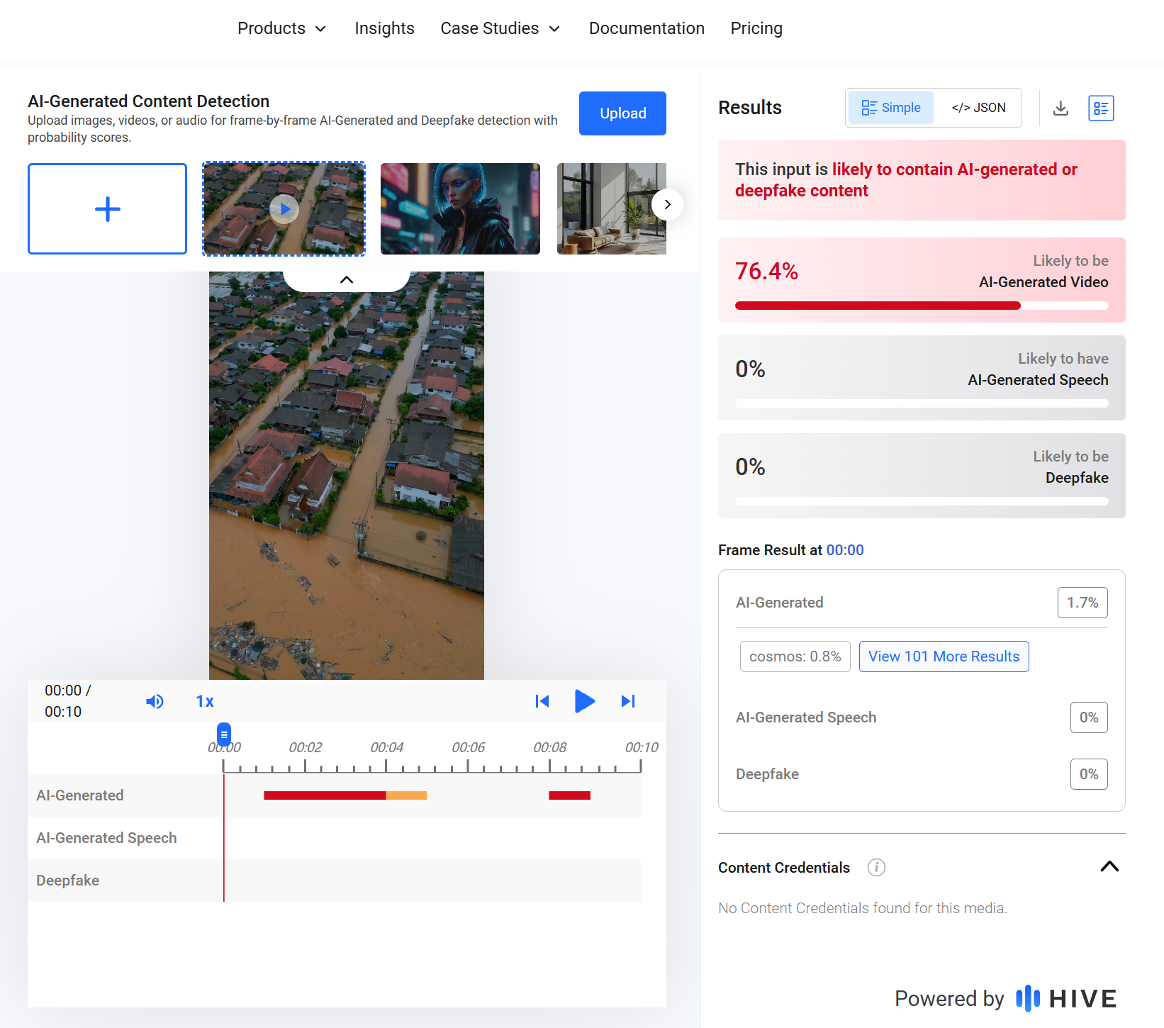
The verification results from Hive Moderation
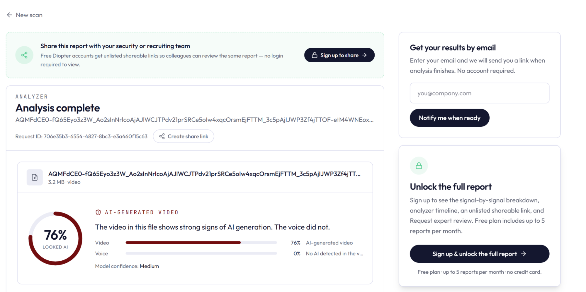
The verification results from Diopter
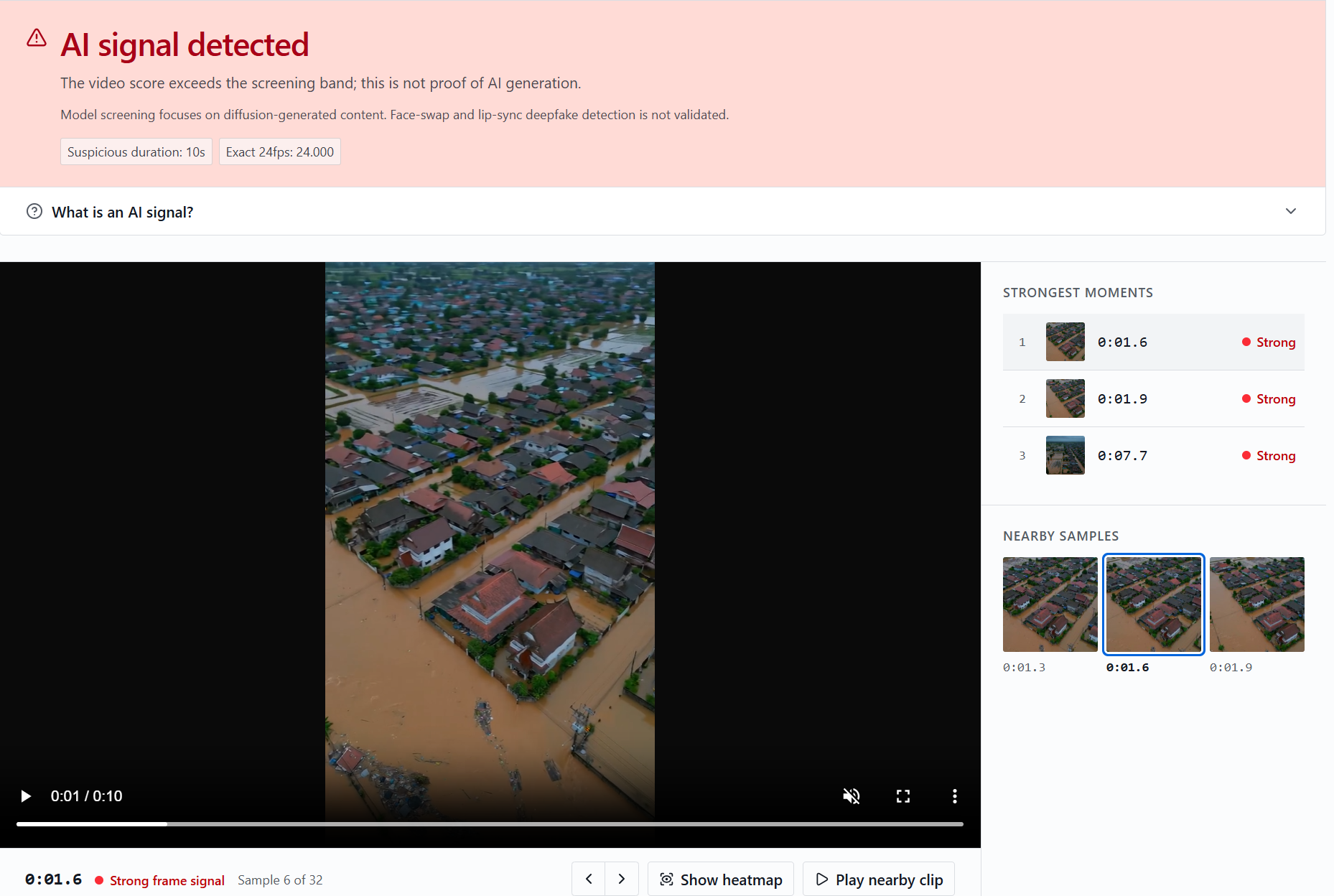
The verification results from see-through
What is the current flood situation in Chachoengsao?
Further searches using the keyword ‘Bang Khla flood’ indicated that the flood situation in Chachoengsao province on October 12, 2026, was gradually improving across multiple sectors. Water levels in Hua Sai subdistrict of Bang Khla receded by over 30 cm, restoring traffic on certain routes. Conversely, Sao Cha-ngok subdistrict remained affected by waist-deep stagnant water and foul odors resulting from ongoing releases from the Khlong Rabom and Khlong Si Yat reservoirs. Several streets within the Chachoengsao municipal district remained inundated with waters up to 30 cm deep. Although Route 304 between Nong Pla Tapian and Phanom Sarakham resumed normal traffic flow, transit was still restricted by ongoing construction work and road surface hazards. Furthermore, water levels in Ko Khanun subdistrict, Phanom Sarakham, had dropped substantially, nearing full recovery.
What is the actual truth?
Thai PBS Verify discovered that the circulating clip is very likely AI-generated, following analysis from various verification tools. That being said, tool results alone are not enough to definitively verify whether the video was created by AI.”
At the same time, an assessment of the flood situation in Chachoengsao on October 12, 2026, indicated that while floodwaters were receding across various sectors, localized inundation continued. Notably, Sao Cha-ngok subdistrict remained affected by waist-deep stagnant water and pollution. In contrast, Hua Sai subdistrict in Bang Khla experienced a water level reduction of more than 30 cm, allowing traffic to be restored on select roads.
Verification Process
- Checking with AI Tools: The clip was run through AI verification tools like Hive Moderation, Diopter, and See-Through, which indicated a strong likelihood of it being AI-generated.
- Keyword Search: Using the keyword ‘Bang Khla flood,’ a report from October 12, 2026, showed that flooding in Chachoengsao was subsiding in many areas. In Bang Khla’s Hua Sai subdistrict, water levels fell by over 30 cm and some roads reopened, though Sao Cha-ngok subdistrict was still dealing with waist-high water. Several roads in Mueang Chachoengsao municipality also remained flooded. Meanwhile, Ko Khanun subdistrict in Phanom Sarakham experienced a dramatic decrease in water levels, nearing normalcy.
The Impact of This Misinformation
- It could cause public alarm and misperceptions about the severity of the floods in Bang Khla, Chachoengsao.
- It may misguide citizens in their travel planning and flood preparations.
- It obscures real-world flood conditions and confuses public efforts to track warning updates.
- It risks eroding public trust in news and disaster alerts.

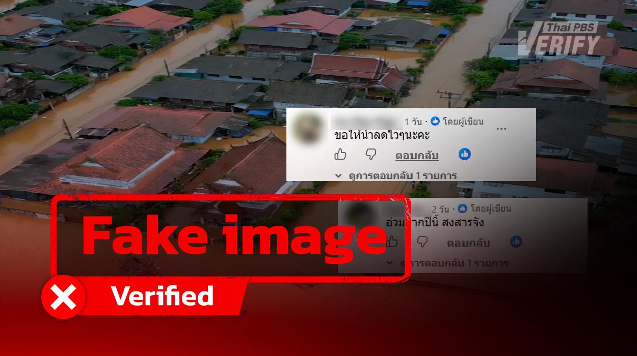
Screenshots of comments reflecting the public’s belief that the video represented an actual occurrence.
What to do with this misinformation?
- Check the Source: Investigate which account shared the video, when it was published, and if any reliable outlets have verified the incident.
- Image and Video Inspection: Utilize AI detection tools alongside reverse image searches, ensuring that a piece of media is not prematurely concluded to be fake based solely on automated tool results.
- Consult Official Updates: Follow water level reports and warnings issued by local bodies or the Irrigation Department to evaluate real conditions before making travel plans.
- Do Not Spread Unconfirmed Information: Steer clear of sharing videos or texts that risk confusing and alarming citizens.
- Warn Others with Evidence: If inaccurate data is found, correct it with reliable information and report the post to the platform for rule violations.